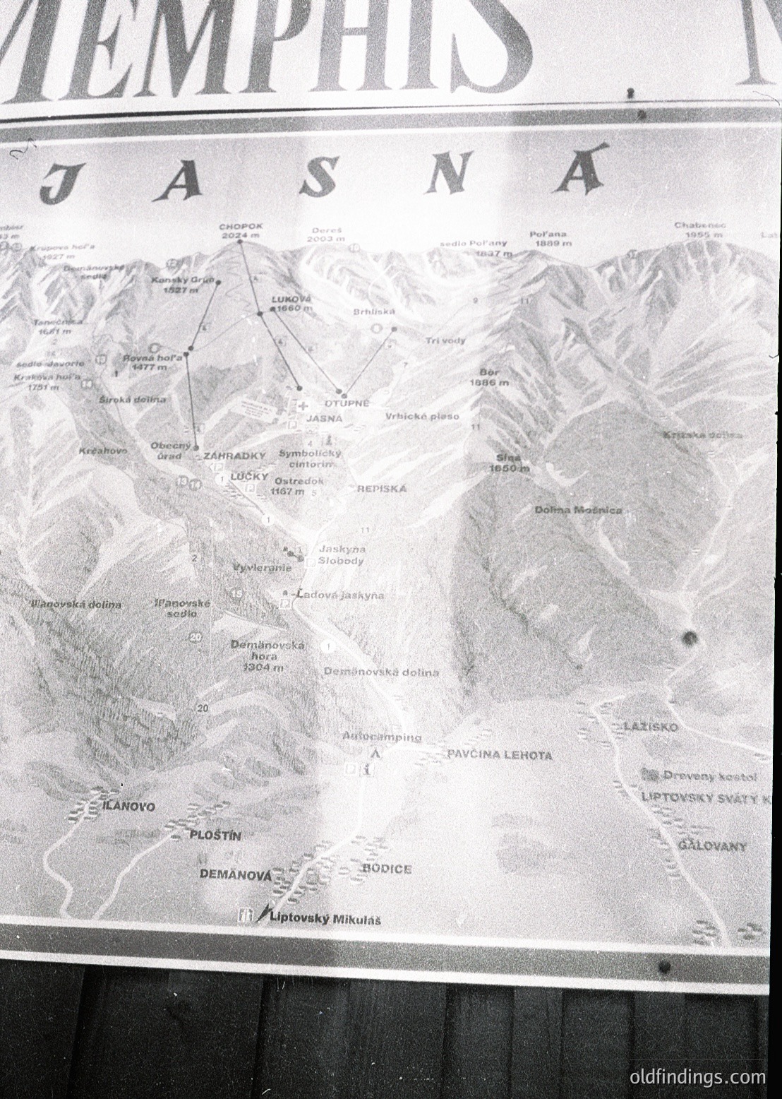
(AI generated): Vintage topographic map of **Jasná** (Slovakia), part of the **High Tatras**, showing hiking trails, elevations, and villages like **Demänová** and **Liptovský Mikuláš**. Relief lines and contour intervals highlight mountainous terrain. Likely from the **mid-20th century** (1950s–1970s) for map style and typography.
VintageMapHighTatrasSlovakiaTopographicMap1960s