Machine-generated description — written by an image model, not by a person.
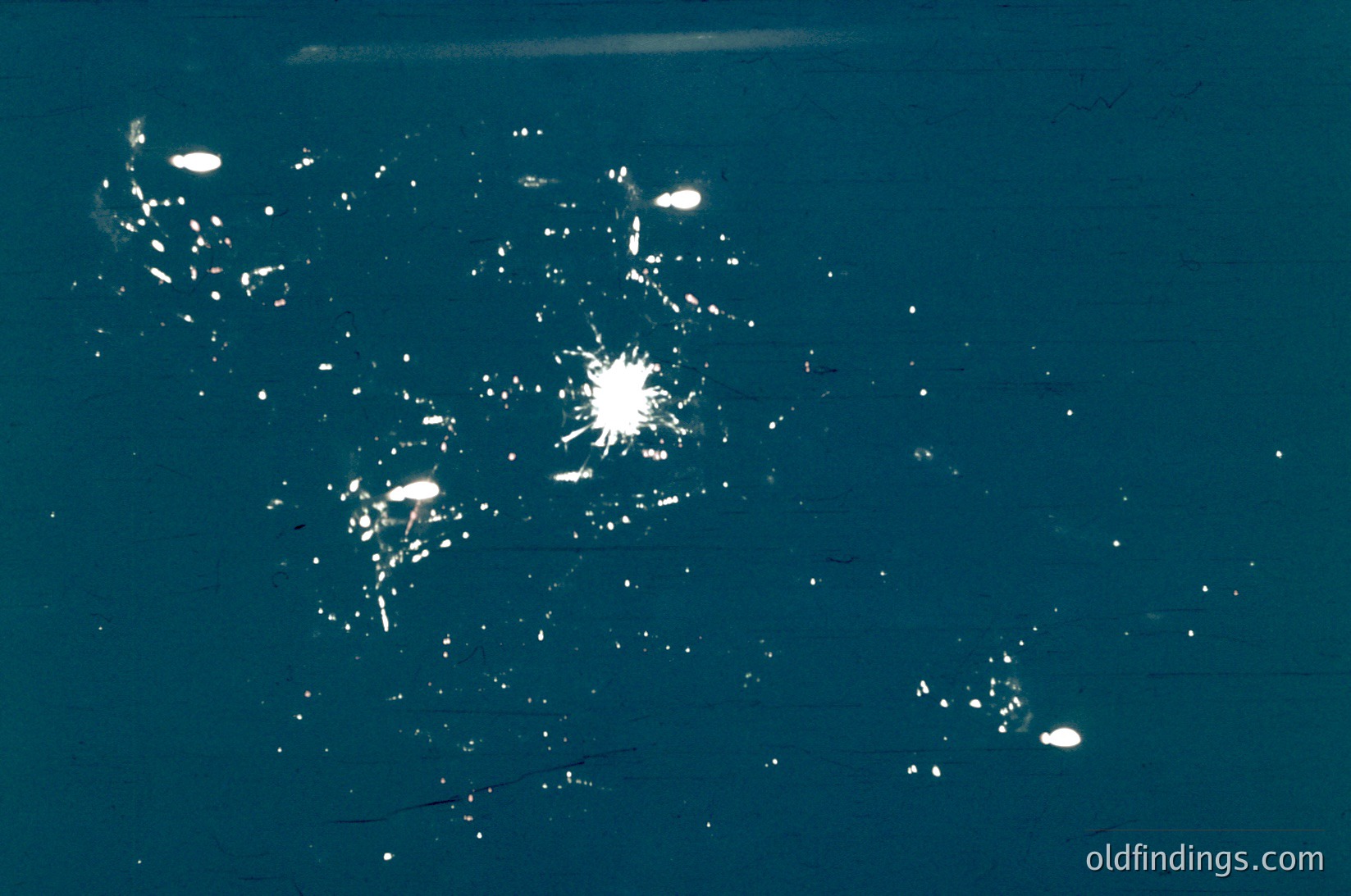
(AI generated): Aerial nighttime view of urban lights forming geometric patterns. Likely a satellite or drone capture showing city infrastructure and development density. The brightest areas suggest concentrated activity, possibly commercial or industrial zones. The scattered lights indicate residential or less dense regions.
UrbanLightingAerialPhotographyNightCityscapeSatelliteImageryUrbanPlanning